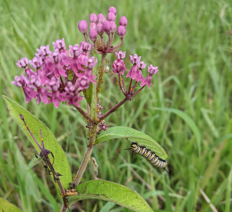
I'm an environmental Field Scientist and GIS Specialist with background in field assessments of streams and wetlands, GIS databases, cartographic design, and advanced spatial analysis and modelling using ArcGIS, QGIS, PostGIS, ENVI, R, and Python. I am especially passionate about ecology and conservation of stream and wetland habitats, and carry an understanding of these habitats in the mid-Atlantic and a passion for collecting and analyzing spatial/environmental data. I currently work for Clean Streams LLC as a Biologist/Field Scientist and GIS Technician.
In my spare time, I like to bake, engage in bird photography, and tinker around with computers (This website was built on a Hackintosh!). I am a vegetarian but enjoy trying different vegan recipes. I am also trans and a proud queer scientist!
Contact and socials:- Pronouns: she/they
- Role: Field Scientist and Biologist/GIS Technician
- Employer: Clean Streams (Hyattsville, MD)
- Current projects:
- Gaithersburg Streams Pre-restoration BIBI
- Prince George's County Stream Benthic Invertebrate, Physical Habitat, Geomorphology, and Water Quality Sampling
- Education:
- M.S. Geospatial Information Sciences
UMD, Dec. 2025 - B.S. Environmental Science and Geography
UMBC, Dec. 2021
- M.S. Geospatial Information Sciences
- Favorites:
- Wildflower: Violets (Viola spp.)
- Shrub: Mountain Laurel
- Tree: Tulip Poplar
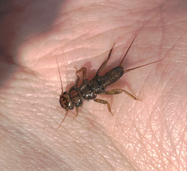
- Insect: Stoneflies
- Bird: Either Blue Jay or Gray Catbird
- 2026-06-02: Updated field highlights to include May 2026
- 2026-06-02: Redesigned and rewrote website